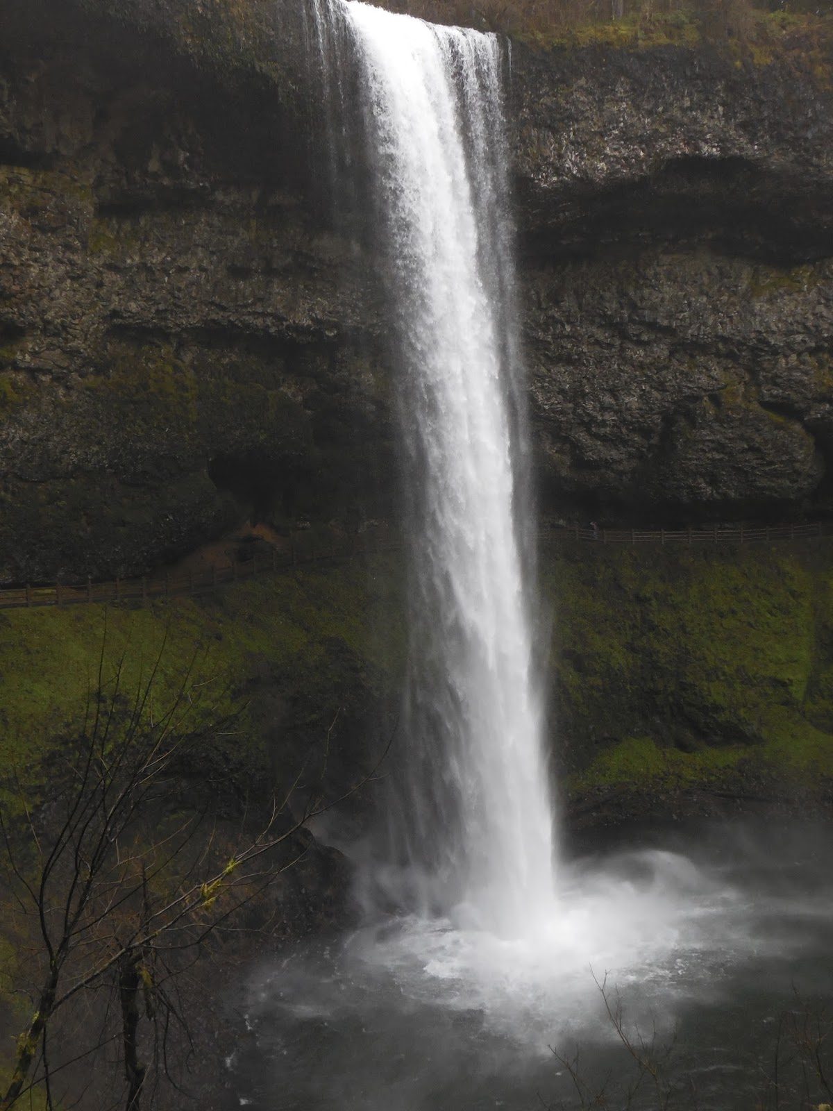
TUMALO FALLS

 JULY 2022

TUMALO FALLS

TUMALO FALLS

TUMALO FALLS

Tumalo Falls is a beautiful waterfall accessed via a one-mile roundtrip hike just thirty minutes outside of Bend. The waterfall will be visible from a viewing area just after beginning the hike, and a trail will then take you a half-mile up to the top of it. If you have time, you can continue up the trail along Tumalo Creek for another two-and-a-half miles. As we arrived fairly late in the evening, we turned around after about a mile. After reaching the falls, the trail flattens out and becomes a very peaceful stroll through the forest. As we had gotten there in the evening, we were able to find a parking space right at the trailhead, and didn't see many other people on the trail. 

This trail can get really busy on summer weekends due to its proximity to Bend, which can require you to park further from the trailhead and add some distance to your hike. Additionally, the last two-and-a-half miles of road leading to Tumalo Falls is closed in the winter and early spring due to snow, which would add an additional five miles roundtrip if you visit during this time. 

SALT CREEK FALLS

JULY 2015

SALT CREEK FALLS
SALT CREEK FALLS
SALT CREEK FALLS
DIAMOND CREEK FALLS
DIAMOND CREEK FALLS

BELOW DIAMOND CREEK FALLS

Salt Creek Falls is a very impressive waterfall located about half-way between Bend and Eugene. The top of the waterfall can be viewed near the parking lot, and a roughly half-mile walk will take you down to the bottom of the falls for a better view. While it is the second tallest waterfall in Oregon, it doesn't receive as many visitors as the waterfalls in the Columbia River Gorge due to its out-of-the way location.  

From the Salt Creek Falls parking lot, you can also visit Diamond Creek Falls via a roughly 3-mile round trip hike. This is definitely worth your time. It is a very peaceful stroll through the forest that even passes by a lake. The trail takes you all the way to the base of the fall where it slides down a large rock face. I hiked this trail over the 4th of July weekend in 2015, likely one of the most popular times of the year to hike it, and while I did see several groups of hikers, it wasn't overly crowded. It's semi-remote location likely keeps the crowds down somewhat. 

SAHALIE & KOOSAH FALLS

JULY 2015

SAHALIE FALLS

KOOSAH FALLS

Sahalie and Koosah Falls are two very impressive waterfalls located less than a mile apart along the McKenzie River. There is a parking lot located near both waterfalls and a trail connecting them together through an old-growth forest. There is also an optional 2.6-mile loop hike that takes you below Koosah, across the river and above Sahalie. I would love to do this sometime as I am sure it is beautiful. However, I had a lot more hiking planned the day I visited, so I just parked at Sahalie Falls and walked down to Koosah Falls and back, for an approximately 1.5-mile round-trip hike. 

Due to the beauty of the falls, and their being only about an hour from Bend, they are fairly popular, so you will want to try to hit this trail on a weekday or during the off-season if you can.  

TEN FALLS TRAIL

FEBRUARY 2015

NORTH FALLS

MIDDLE NORTH FALLS

MIDDLE NORTH FALLS

DOUBLE FALLS

DOUBLE FALLS

LOWER SOUTH FALLS

SOUTH FALLS

WINTER FALLS

NEAR NORTH FALLS
The Ten Falls Loop Trail is one of the greatest hikes in Oregon. The 8.7-mile trail passes by ten significant waterfalls as it travels through a lush, green forest. I hiked this trail in February, so it wasn't quite as green as would be in the spring or summer, but it was still very impressive. There are a few different places you can start the hike, but I chose to start at North Falls, since it was the first trailhead I came to on my drive. 

The trail takes you behind North Falls and down the river past Twin Falls to Middle North Falls. There is a trail leading behind Middle North Falls that will take you to the other side of the river for a nicer view. Next you will pass by Drake Fall and a side trail leading to Double Falls, which was one of my favorite. You will then pass Lower North and Lower South Falls. Lower South Falls was  one of the nicest falls, and the trail takes you right behind it. The next waterfall you will come to is South Falls, where you will see a lot of people, as there is a lodge and large parking lot located just above it. This is the most impressive waterfall on the hike due to its incredible size. There is a trail leading behind it to help you appreciate the volume and velocity of the water.  

After South Falls it is about a mile walk through the forest to a side trail taking you to the bottom of Winter Falls, then another mile walk to the North Falls parking area. However, to truly finish the route, you will need to cross the street and hike up the river about a quarter-mile to Upper North Falls before returning to your vehicle. Because the hike is so amazing, expect a lot of traffic along the trail. I was surprised how many people I saw while hiking in February. It must get really crowded on summer weekends, so plan accordingly.   

ABIQUA FALLS

FEBRUARY 2015

ABIQUA FALLS

ABIQUA FALLS

Abiqua Falls is a beautiful waterfall located within a large basalt amphitheater near Silver Falls State Park. The hike is less than a mile round-trip, but it is a bit steep at the beginning, and requires walking across some wet boulders.  However, to me, the hardest part of hiking Abiqua Falls was trying to get my Toyota Corolla down the steep, rocky road to the trailhead. I made it, but I'm not sure if I would attempt it again. A high-clearance vehicle would definitely be preferable. I actually ended up parking at a pull-out on the side of the road about a quarter-mile or so above the main parking area to play it safe once I knew I was getting close. Be sure to bring detailed directions to the trailhead as the road and hike are not signed. 

From the parking area, the trail will drop steeply down to the river. There were ropes here to assist with the steep, muddy descent. Once you reach the river, you will follow it upstream to the falls. The falls are amazing and there is a pretty large lake located at their base. I hiked this trail over President's Day weekend and saw about six or seven groups of hikers. You will want to avoid this trail during popular times as there are not a whole lot of parking spaces near the trailhead. Once they fill up, you will need to park further and further up the road from the trailhead. In addition to being steep and rocky, the road is also very narrow, and often has a steep drop-off along one side of it. Portions of it are barely wide enough for two cars, and I remember as I was leaving having to back my car down a steep section, to near the edge of a drop-off to make room for an SUV to squeeze past me.       

TRESTLE CREEK FALLS

JULY 2015

UPPER TRESTLE CREEK FALLS

TRESTLE CREEK FALLS

TRESTLE CREEK FALLS

TRAIL TO UPPER TRESTLE CREEK FALLS

The Trestle Creek Falls hike is a pleasant 3.5-mile round-trip stroll through an old growth forest past two waterfalls. It is only about three-quarters of a mile to the lower falls, which are located within a secluded grotto accessed from a side trail. It is only about a mile further to reach the two-tiered upper falls, where the trail will take you behind and below the falls for some impressive views. 

This can be done as a loop hike, as there is an alternate trail leading back to the trailhead at Upper Trestle Creek Falls. However, as I was unaware of the alternate trail when I visited, I just returned the way I came. Because this trail is a little out of the way, and doesn't contain waterfalls as spectacular as others in the region, it doesn't receive a lot of visitors. I was surprised how few people I saw while visiting over the 4th of July weekend.    

PROXY FALLS

JULY 2015

UPPER PROXY FALLS

UPPER PROXY FALLS

UPPER PROXY FALLS

PROXY FALLS

PROXY FALLS

Proxy and Upper Proxy Falls are accessed via a 1.5-mile round-trip hike located about an hour-and-a-half west of Bend. This is a very popular hike due to the beauty of Proxy Falls, and the ease with which it can be reached. I chose to visit the upper falls first, which had a steep make-shift side trail leading up the side for improved views of the falls as they cascaded down the moss-covered rocks and logs. 

On my way back down the trail I visited Proxy Falls. The trail takes you all the way to the base of this very impressive waterfall, where you can sit down to enjoy the view or cool-off under the falling water. I ended up making it to Proxy Falls in the middle of a very bright, sunny day and remember being frustrated with how hard it was to get a good shot of them. My photos don't due the falls justice as they are much more lush and green than they appear. As I was visiting over the 4th of July weekend, it was also very crowded at the base of the falls, making it more difficult to get a good shot. I will definitely have to visit again some time during the off-season.  


LINTON FALLS

JULY 2015

LOWER LINTON FALLS

ON TOP OF LOWER LINTON FALLS

THREE SISTERS

The Linton Falls are reached via a four mile round-trip hike that passes through the forest and along the shores of Linton Lake. From the trailhead it is about 1.5 miles to Linton Lake. Once you reach the lake, the main trail will end, and you will need to continue to make your way along the side of the lake to Linton Creek. Once you hit Linton Creek, just follow it up to the falls. There is not a great trail here, but there were a few makeshift trails that started and stopped along the left side of the creek. I guess the more people who visit the falls, the better the trail will become. 

After hiking about a quarter-mile up Linton Creek, you will find yourself on the side of a gorge overlooking the lower falls. This was an impressive waterfall, and I was a little frustrated that there was no easy way down to the bottom of the gorge to view them from below. But I continued on to the top of the falls where I relaxed for a bit before heading back. I didn't have great directions when I hiked this trail, and didn't realize until later that there was an Upper Linton Falls just a few hundred feet above the top of the Lower Falls. I will definitely have to try this hike again some time.  

ECOLA

MARCH 2016

VIEW ALONG THE INDIAN BEACH TRAIL

ARCH SEEN ALONG THE INDIAN BEACH TRIAL

ECOLA POINT

INDIAN BEACH TRAIL

INDIAN BEACH TRAIL

INDIAN BEACH TRAIL

Ecola State Park is a beautiful stop along the Oregon Coast just north of Cannon Beach that offers picnic areas with great views of the ocean, as well as a eight-mile trail along the coast. I happened to visit the area in March on an especially cold and windy day, which made it hard to fully appreciate the beauty of the area. We walked around Ecola Point for a bit and started up the Indian Beach Trail for a mile or so before returning to the car. I will definitely have to return sometime to hike a bit further as the portions of the coast trail I saw were amazing.    

SHORT SANDS

MARCH 2016

SHORT SANDS BEACH

SHORT SANDS BEACH

SHORT SANDS BEACH

SHORT SANDS BEACH

SHORT SANDS BEACH

TRAIL TO SHORT SANDS BEACH

VIEW ALONG THE TRAIL

Short Sands is a beautiful one-mile round-trip hike along the Oregon Coast that follows a creek through the forest to a beach located within a cove. This is a very popular trail due to it being such a short, scenic hike located right along the 101 highway. It wasn't too crowded when we visited in March, but as the parking lot at the trailhead has well over 100 spaces in it, it must get really busy during the summer.   

CANNON BEACH

MARCH 2016

HAYSTACK ROCK

CANNON BEACH

CANNON BEACH TIDE POOLS

CANNON BEACH SUNSET

CANNON BEACH

Cannon Beach is a popular beach on the Oregon Coast about an hour-and-a-half from Portland. The City of Cannon Beach runs along the length of the beach, and provides many accesses down to the ocean. What makes Cannon Beach unique is the towering Haystack Rock located just off the coast. There are also several sea stacks and various tide pool located around the base of Haystack Rock that are fun to explore during lower tides. During high tides, you won't be able to access this area.

We visited Cannon Beach during an extremely cold and windy day in March, making it a little harder to appreciate. We were really regretting not bringing our winter coats. On our trip we ended up making it to the base of Haystack Rock at dusk and were able to explore the tide pools for a little while before it got dark. However the cold temperatures made us less adventurous than we would otherwise have been.